The Tajo does not hurry.
It cuts slowly across the Iberian Peninsula, gathering stone, memory and silence as it moves west toward Portugal. In Caceres, the river becomes more than geography. It becomes a line through time.
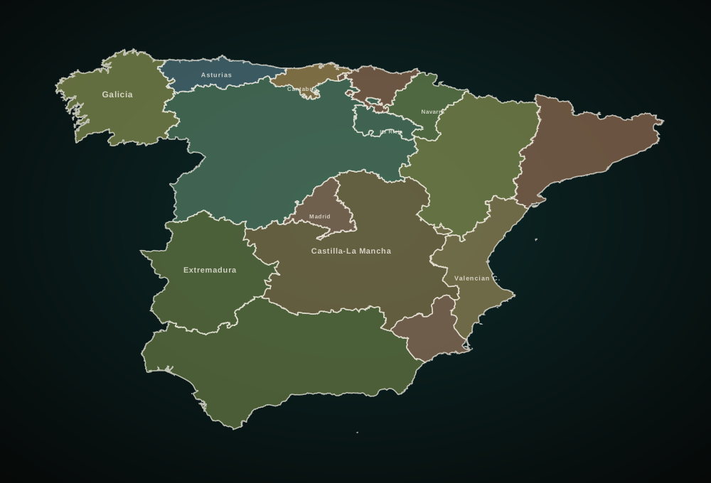
The Ciclosenda del Tajo follows that line across the province from east to west. It begins near Puente del Arzobispo, where Extremadura opens through olive groves, old roads and the folded geology of Villuercas-Ibores-Jara. It crosses the reservoir country of Valdecanas, passes Roman remains rescued from the water, enters Monfrague's wild bird country, rides through the dehesa heartland and finishes beyond Alcantara, where the river becomes frontier.
By the time the route reaches Cedillo, the Tajo is no longer simply a river. It is a border, a canyon, a corridor of vultures, dolmens, white villages, rockrose and stone.
This is an expedition across one of inland Spain's most authentic landscapes.
The first kilometres are quiet. The route leaves the eastern edge of Caceres and enters Extremadura along old roads, fields and olive groves. There are no dramatic alpine walls here, no obvious postcard cliches. Instead, the landscape reveals itself slowly: stone walls, scattered oaks, white villages, Roman memory, geological ridges and the wide, dry light of inland Spain.
This is the character of the Ciclosenda del Tajo. It does not sell itself with one single viewpoint. It builds meaning stage by stage.
The first world is geological. Villuercas-Ibores-Jara rises between the basins of the Tajo and the Guadiana, a UNESCO Global Geopark of 2,544 square kilometres where ridges, anticlines and stone landscapes frame the beginning of the journey. From the Risco de la Villuerca, at 1,601 metres, the highest view of the Geopark opens across the territory.
Then the river appears through reservoirs and crossings. At Valdecanas, the ruins of Augustobriga tell a story of Roman stone and modern water: the Templo de los Marmoles was moved piece by piece to protect it from the reservoir.
The centre of the expedition belongs to Monfrague. Dehesa gives way to river cliffs, reservoirs, cork oak, holm oak, Mediterranean forest and the watchful presence of large birds overhead. Monfrague was declared a Biosphere Reserve in 2003 and a National Park in 2007.
West of Monfrague, the journey becomes historical again. The Via de la Plata enters the story near Canaveral. The Alcantara reservoir opens wide views over the Tajo. Garrovillas de Alconetar welcomes riders into one of Spain's great monumental squares. Then the route turns toward Alcantara, and the Roman bridge appears.
Beyond Alcantara, the route changes tone. The towns become smaller. The landscape opens. Rockrose scents the air. The Sierra de San Pedro sits on the horizon. Dolmens, menhirs and anthropomorphic tombs begin to appear in the story. The rider is now in the Tajo Internacional, a transboundary biosphere landscape between Spain and Portugal.
The final kilometres to Cedillo are not an ending in the usual sense. There is no grand city, no resort arrival, no finish-line noise. There is a dam, a river, a border and Portugal beyond the water. The Tajo continues. The rider stops. And the journey becomes memory.